Aerial Survey TR (not FF)

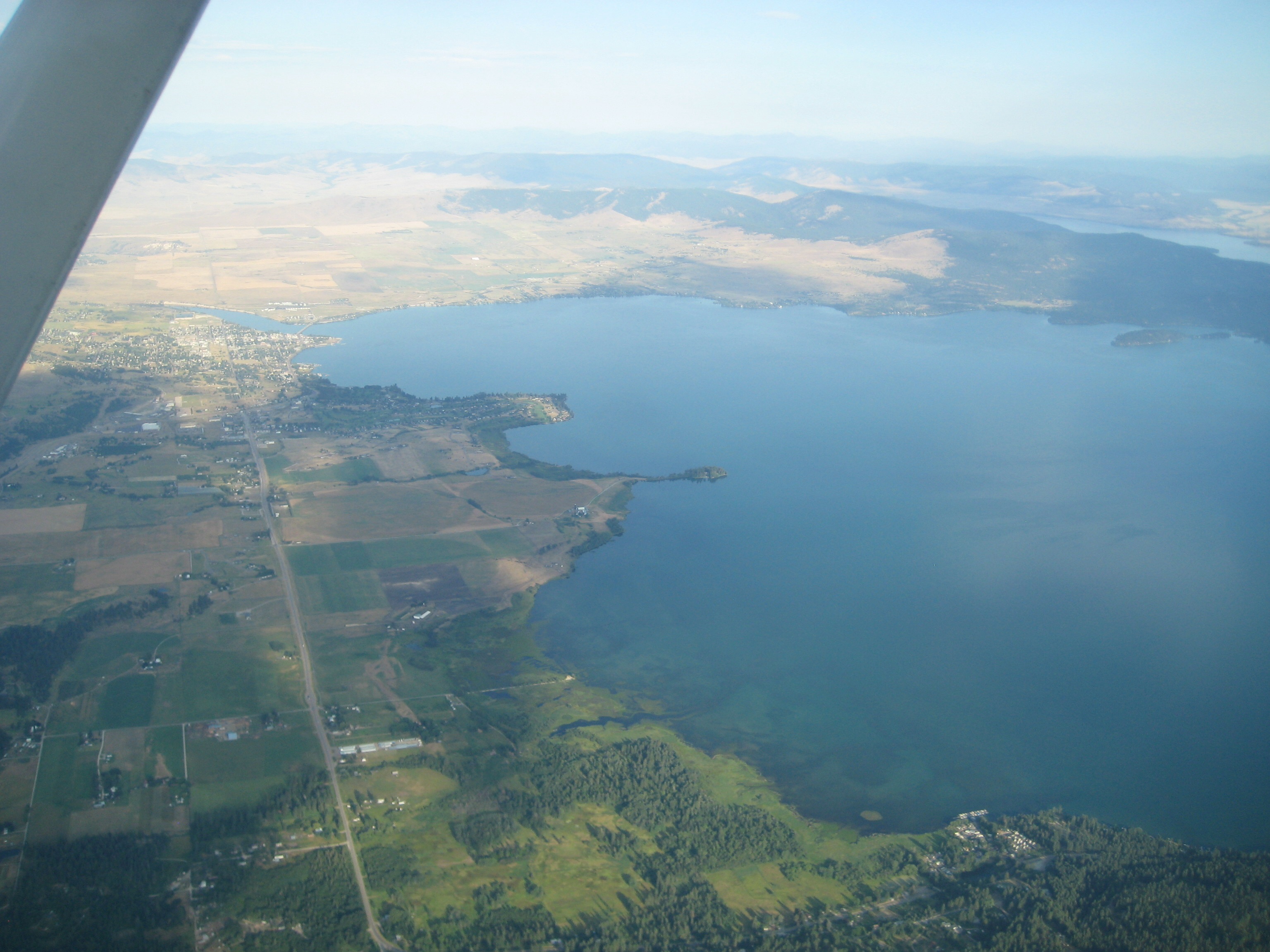
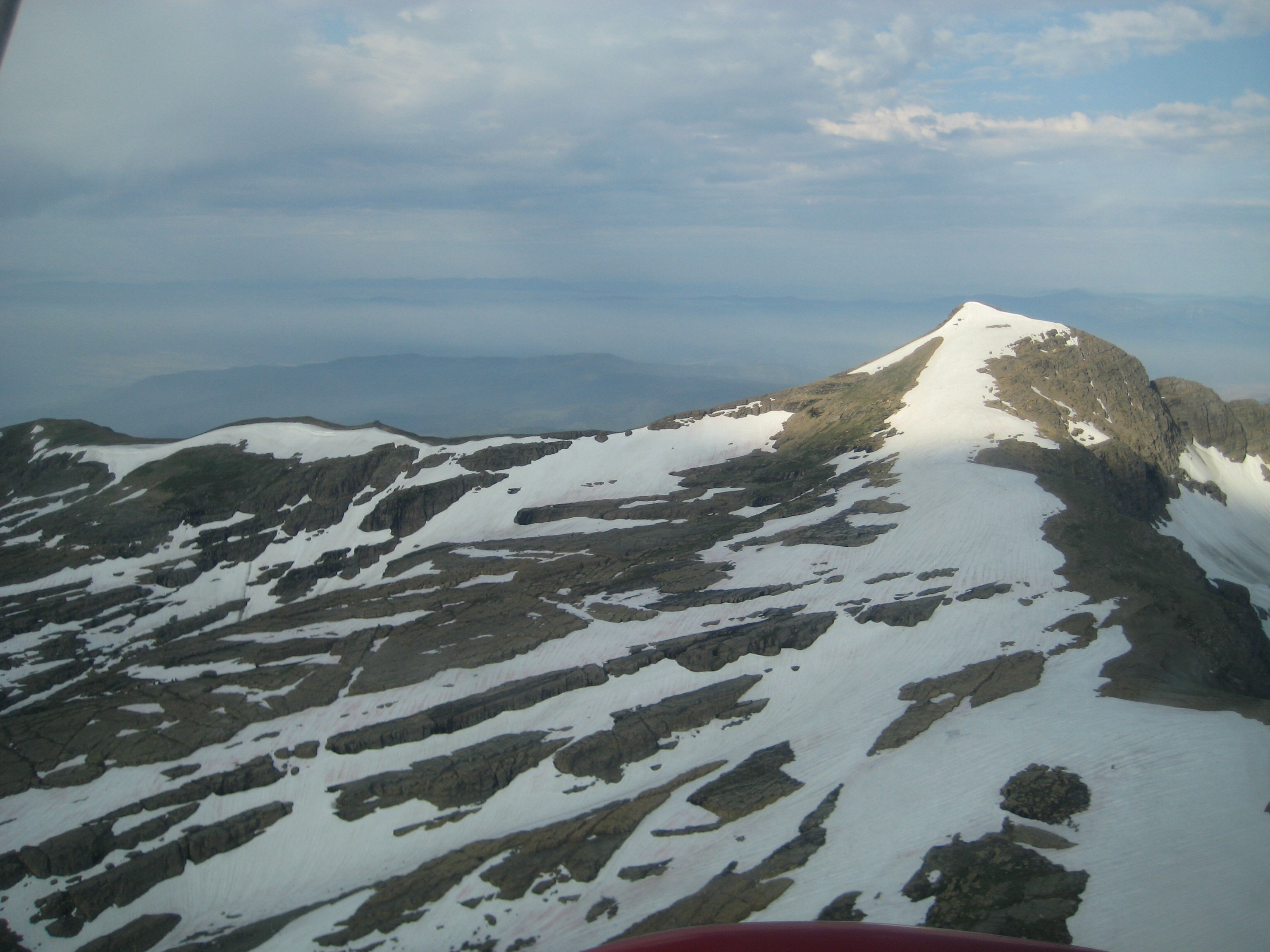
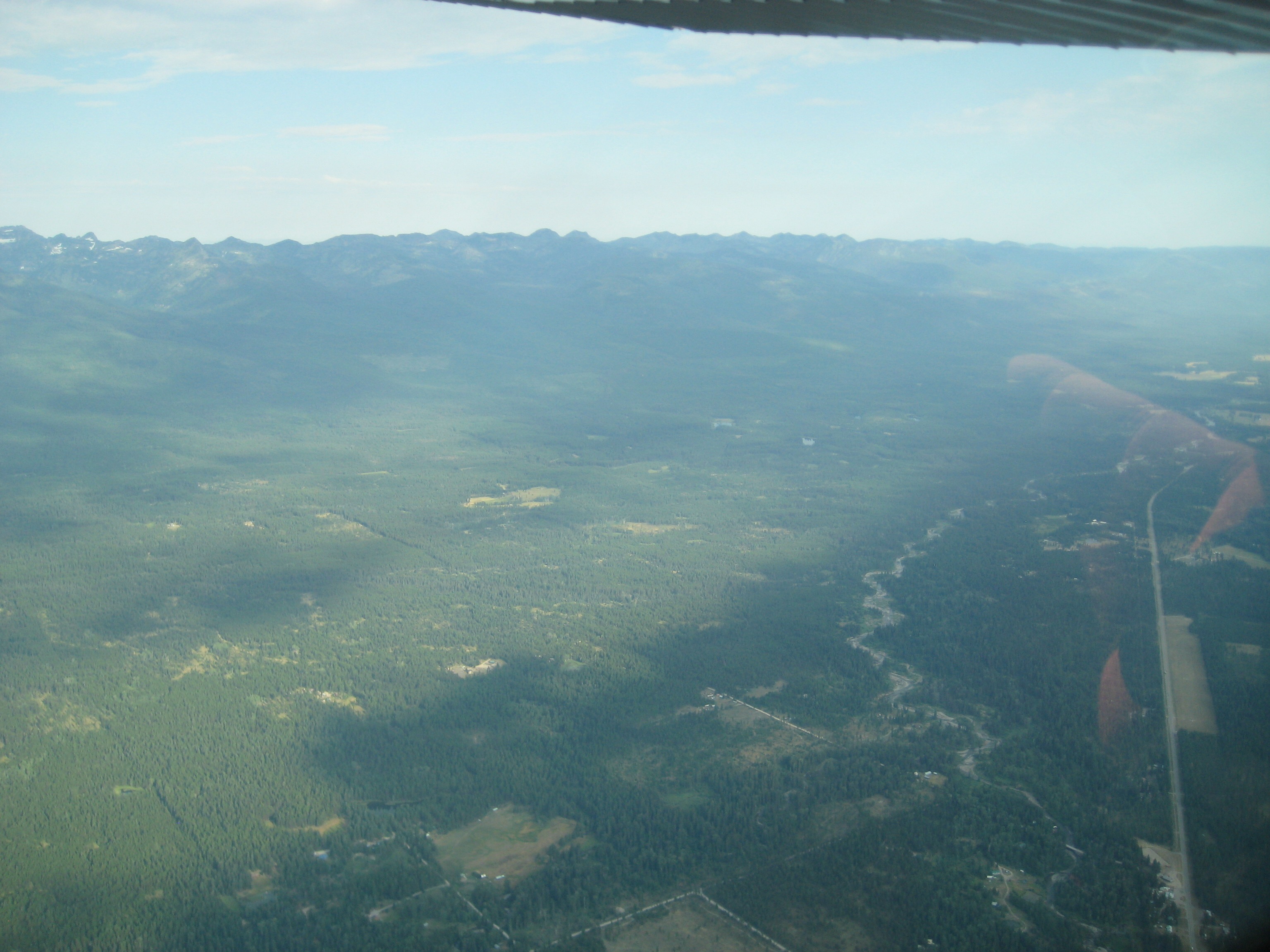
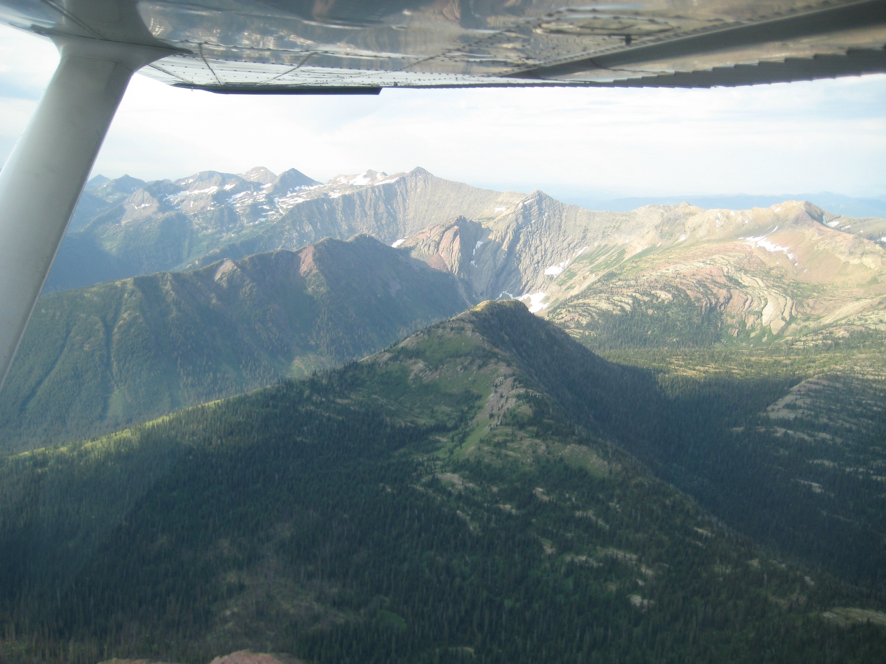
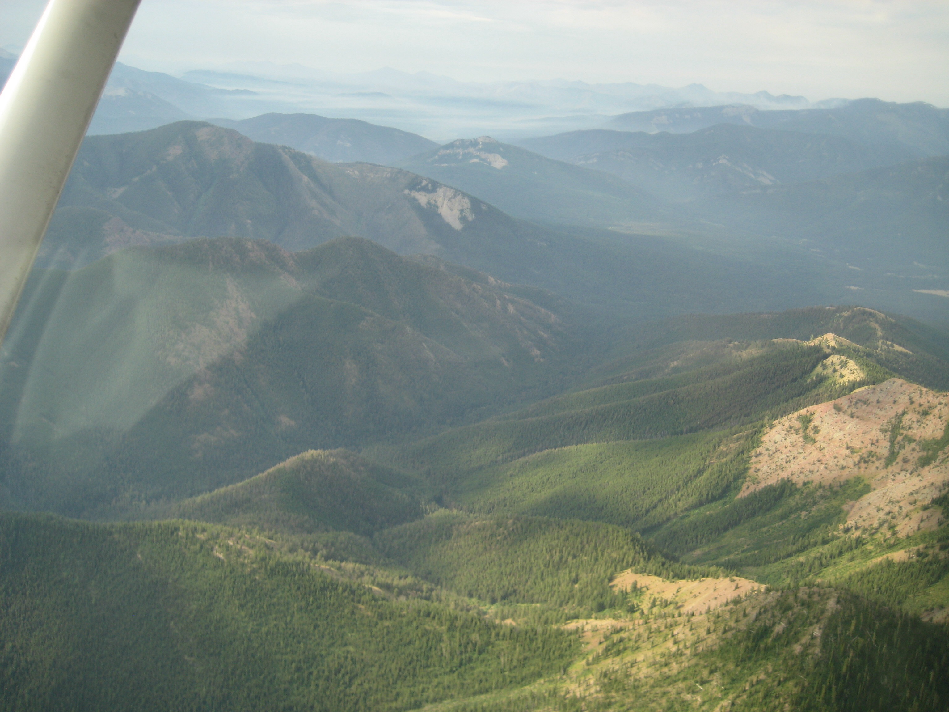
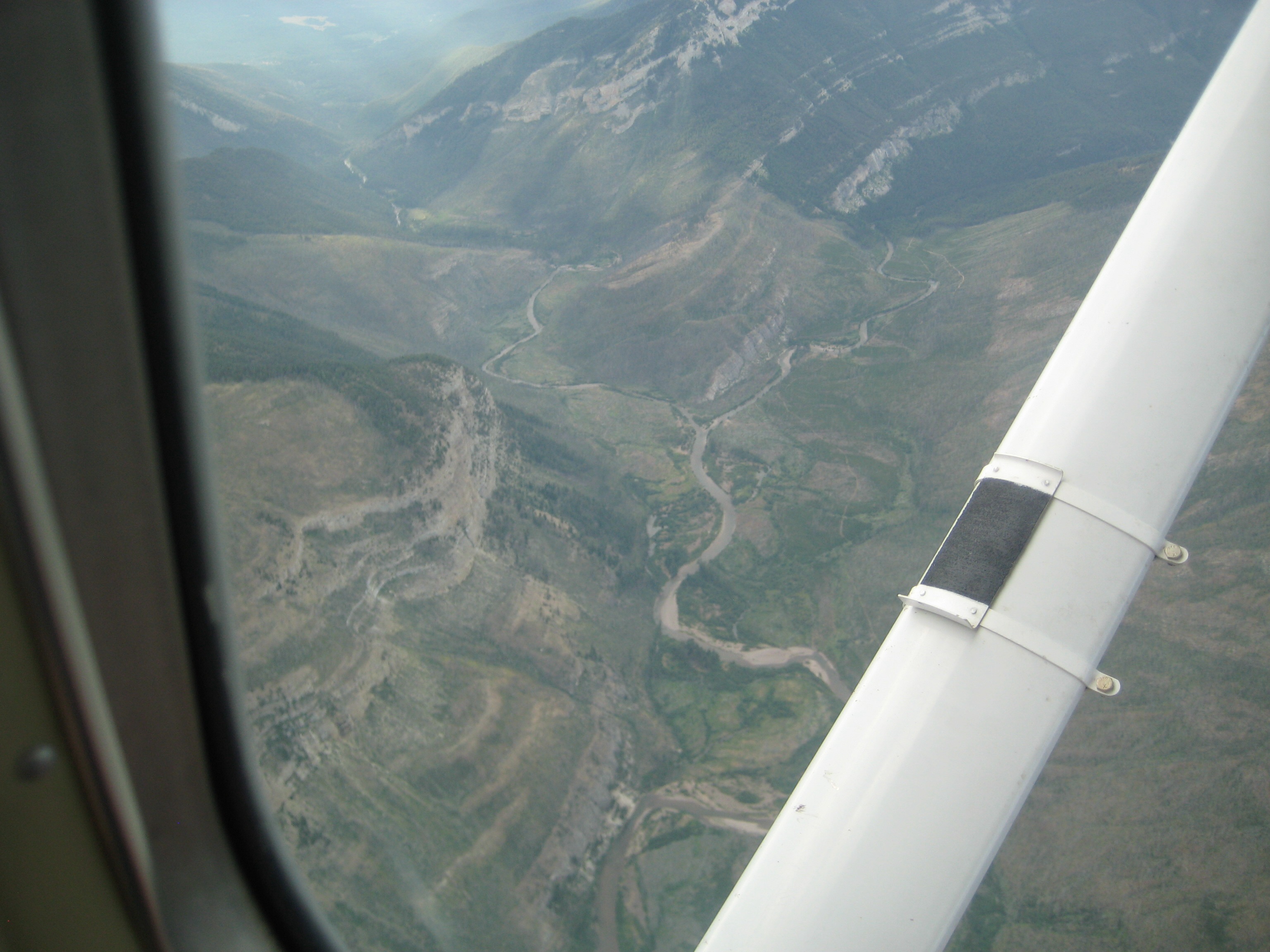
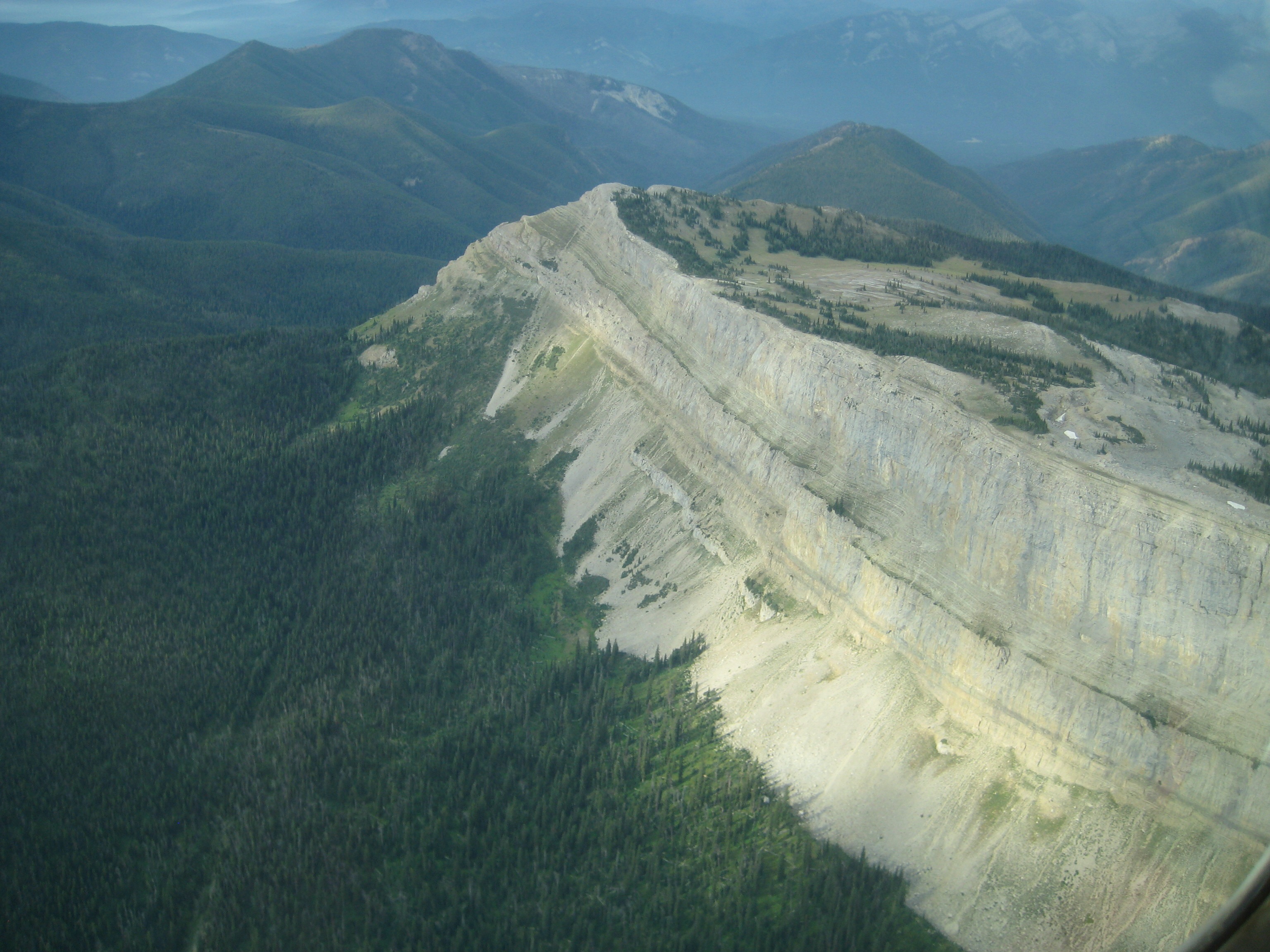
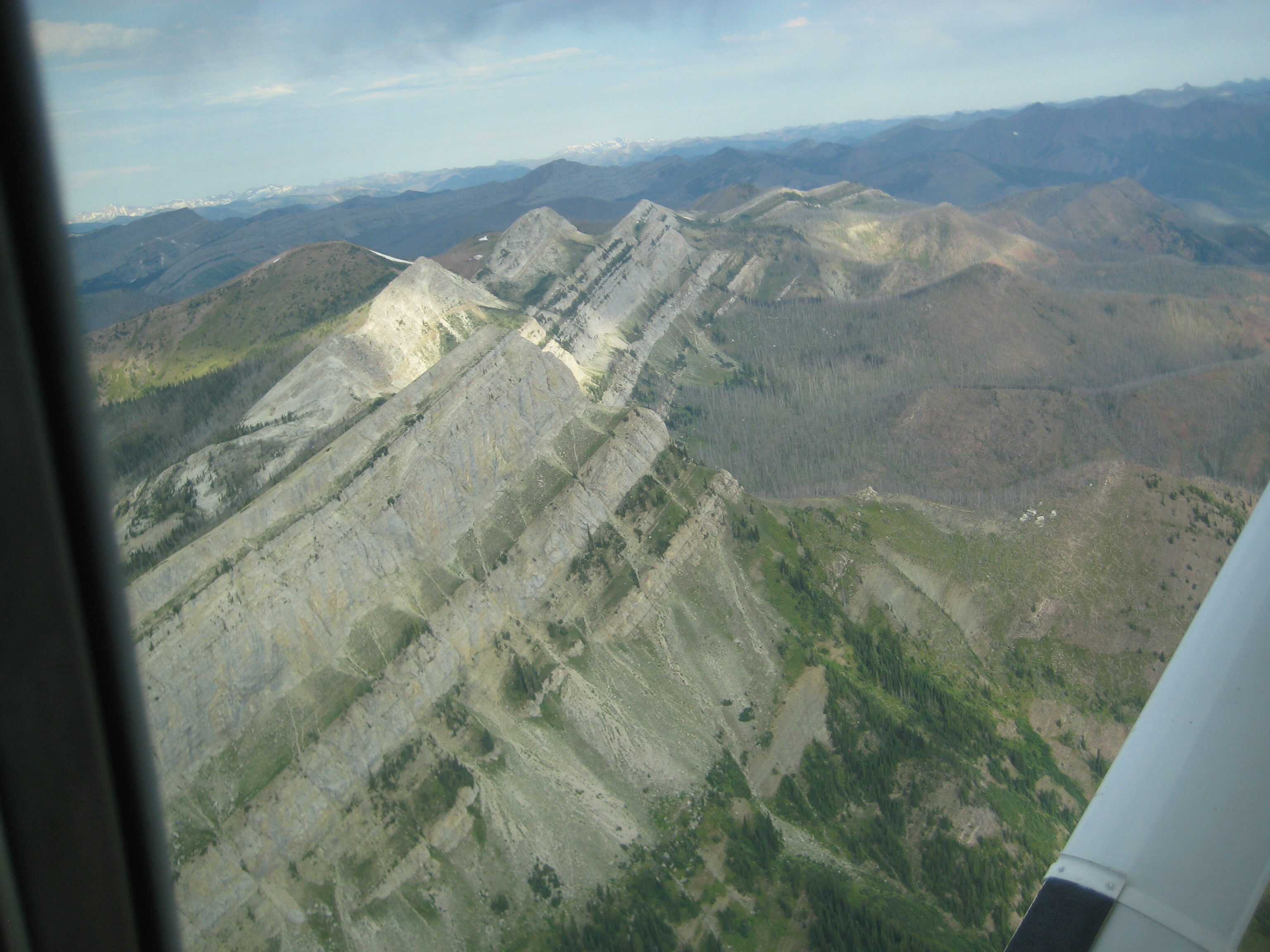
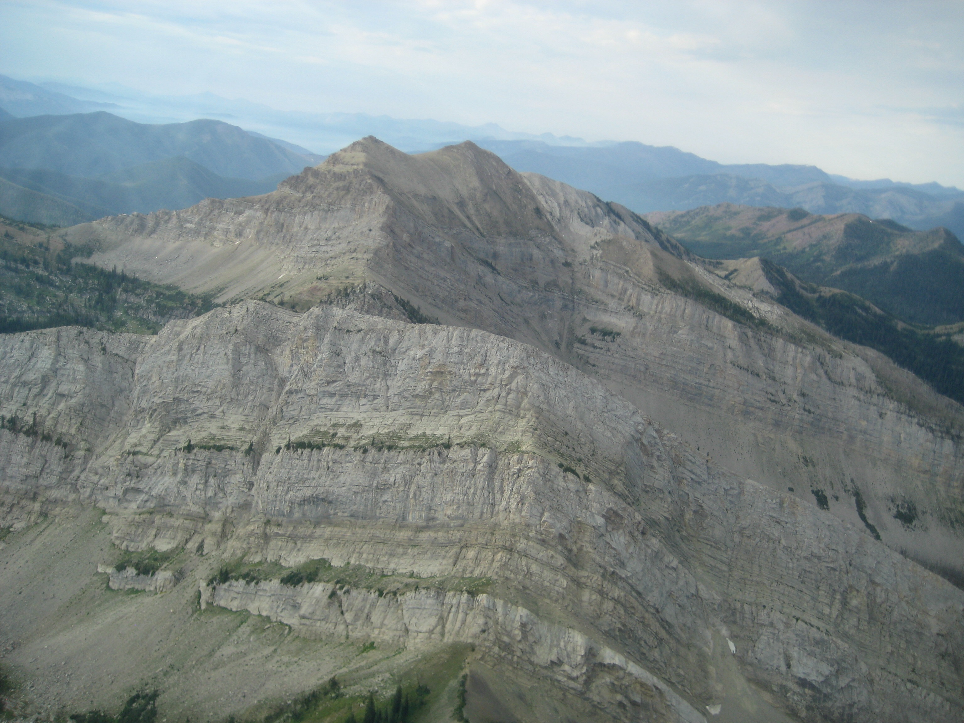
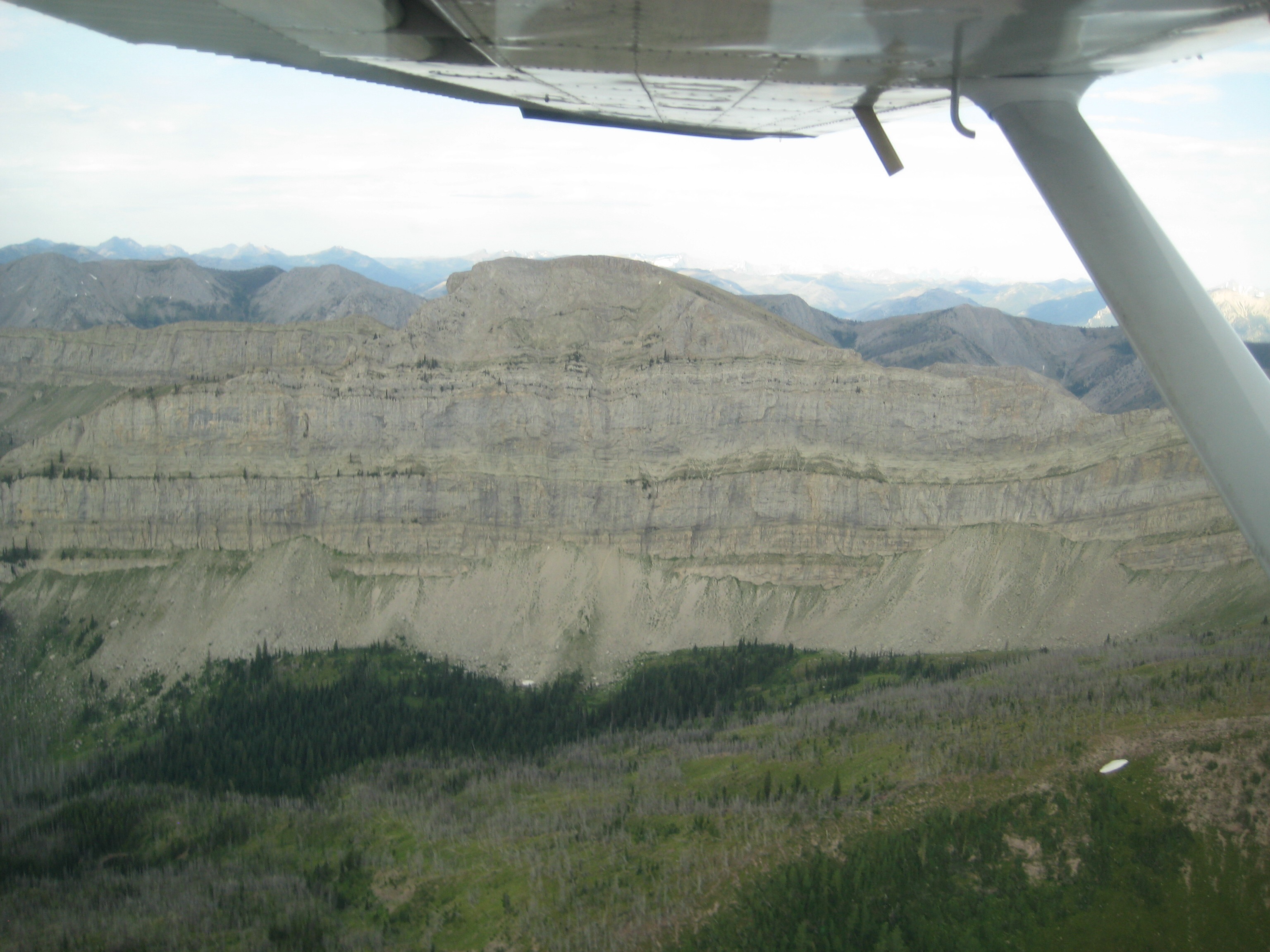
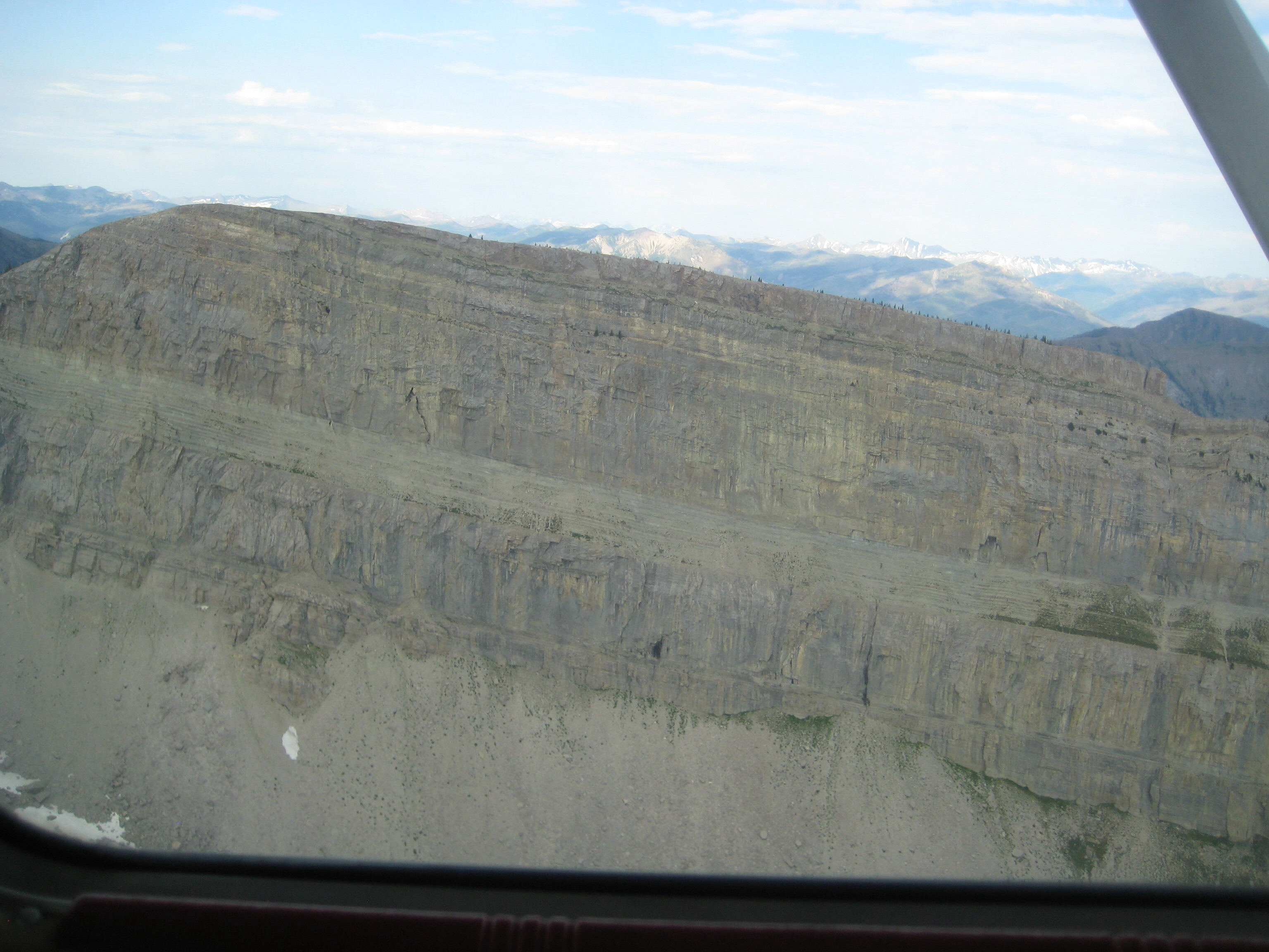
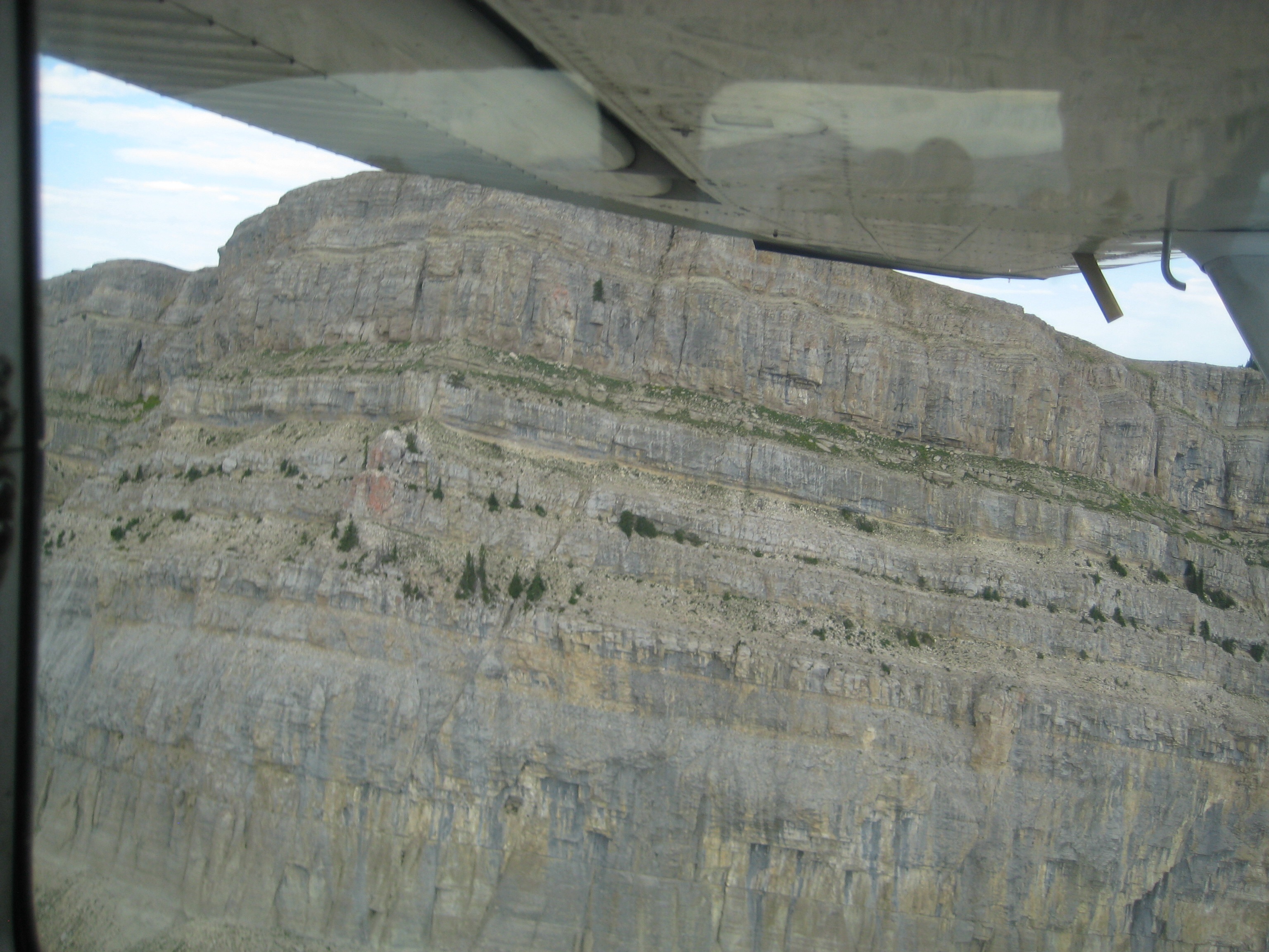
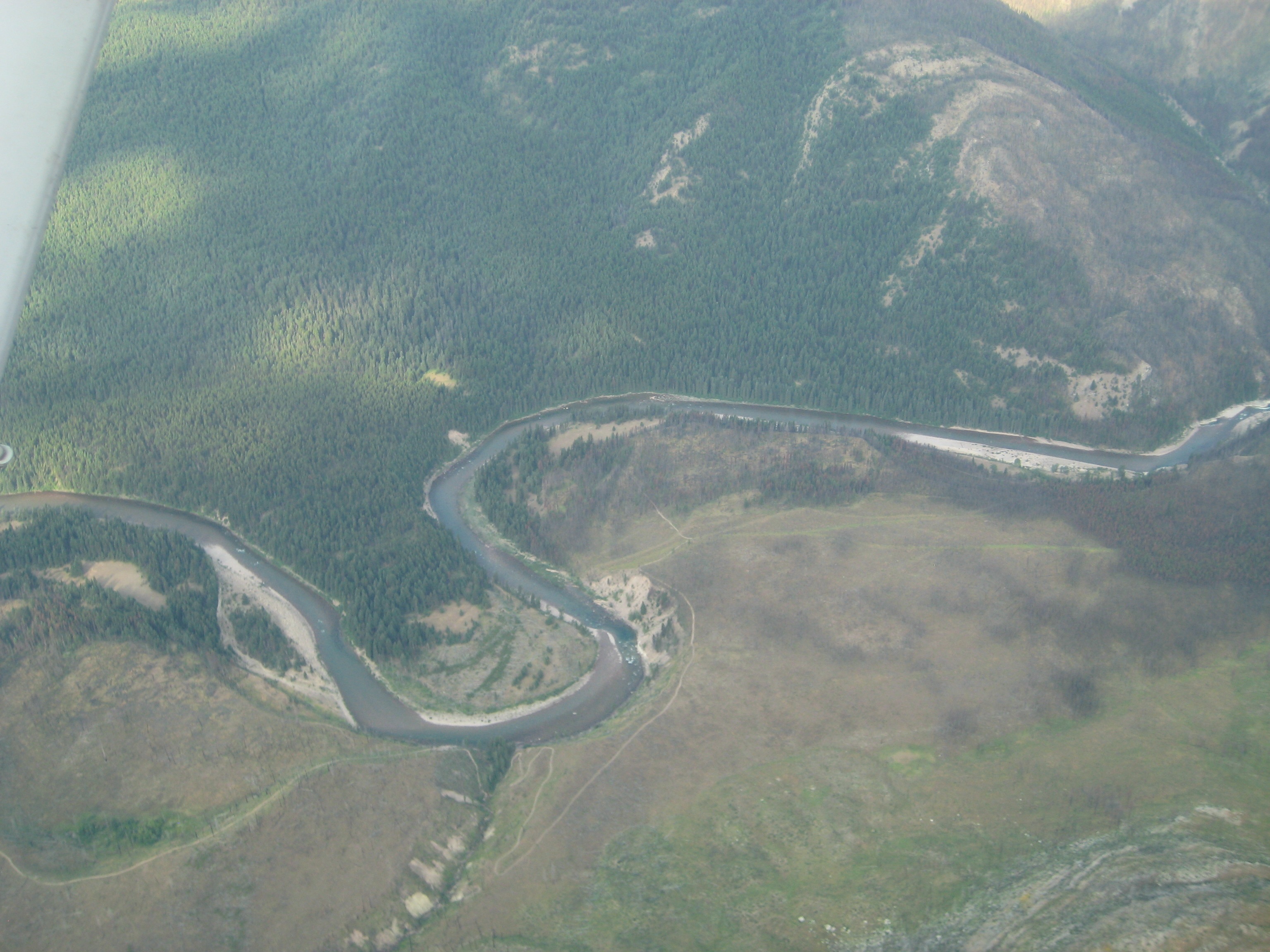
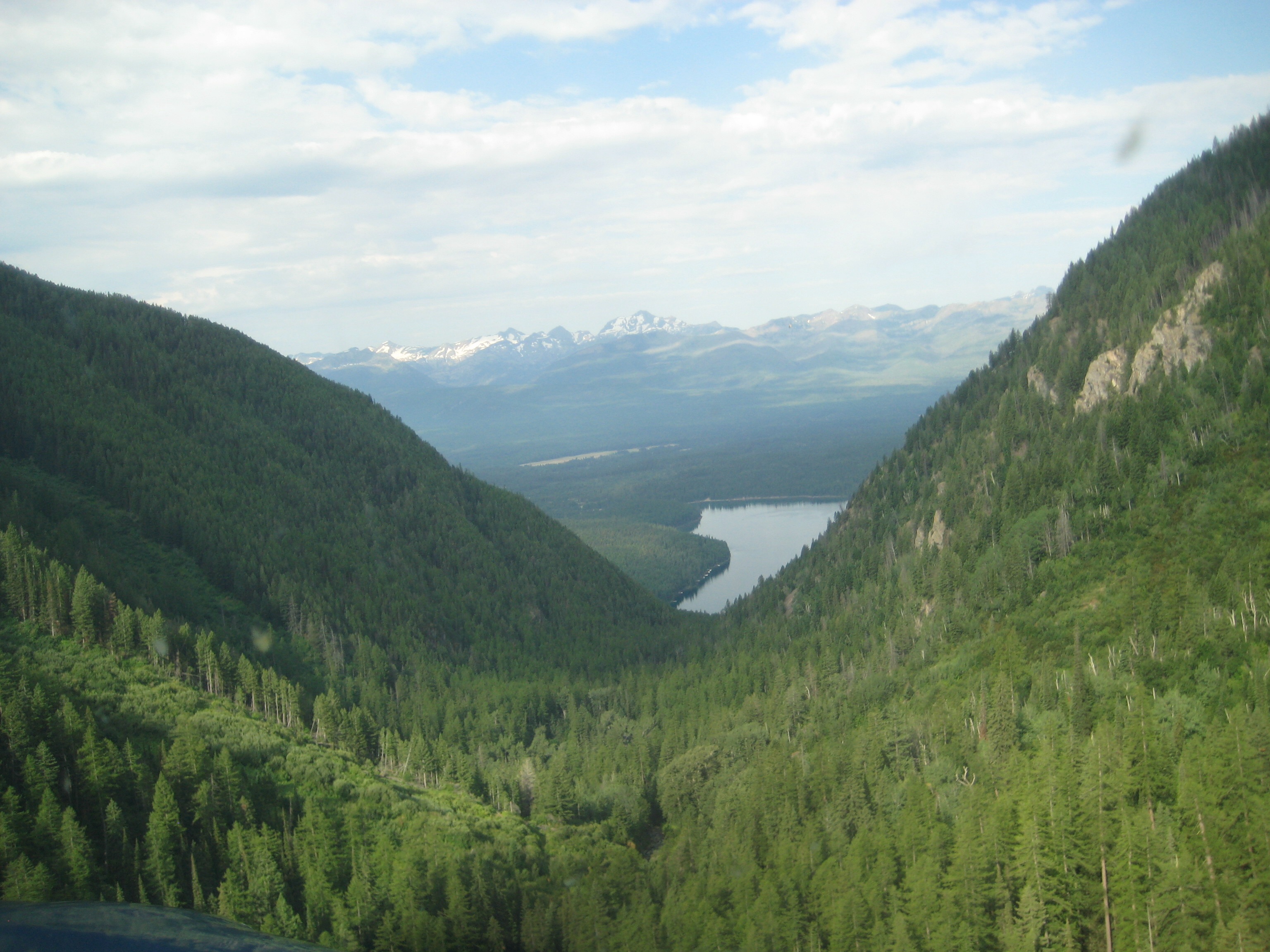
Wife’s cousin generously offered to take us up for a flight over the Bob Marshall Wilderness; I said yes before he had a chance to reconsider.

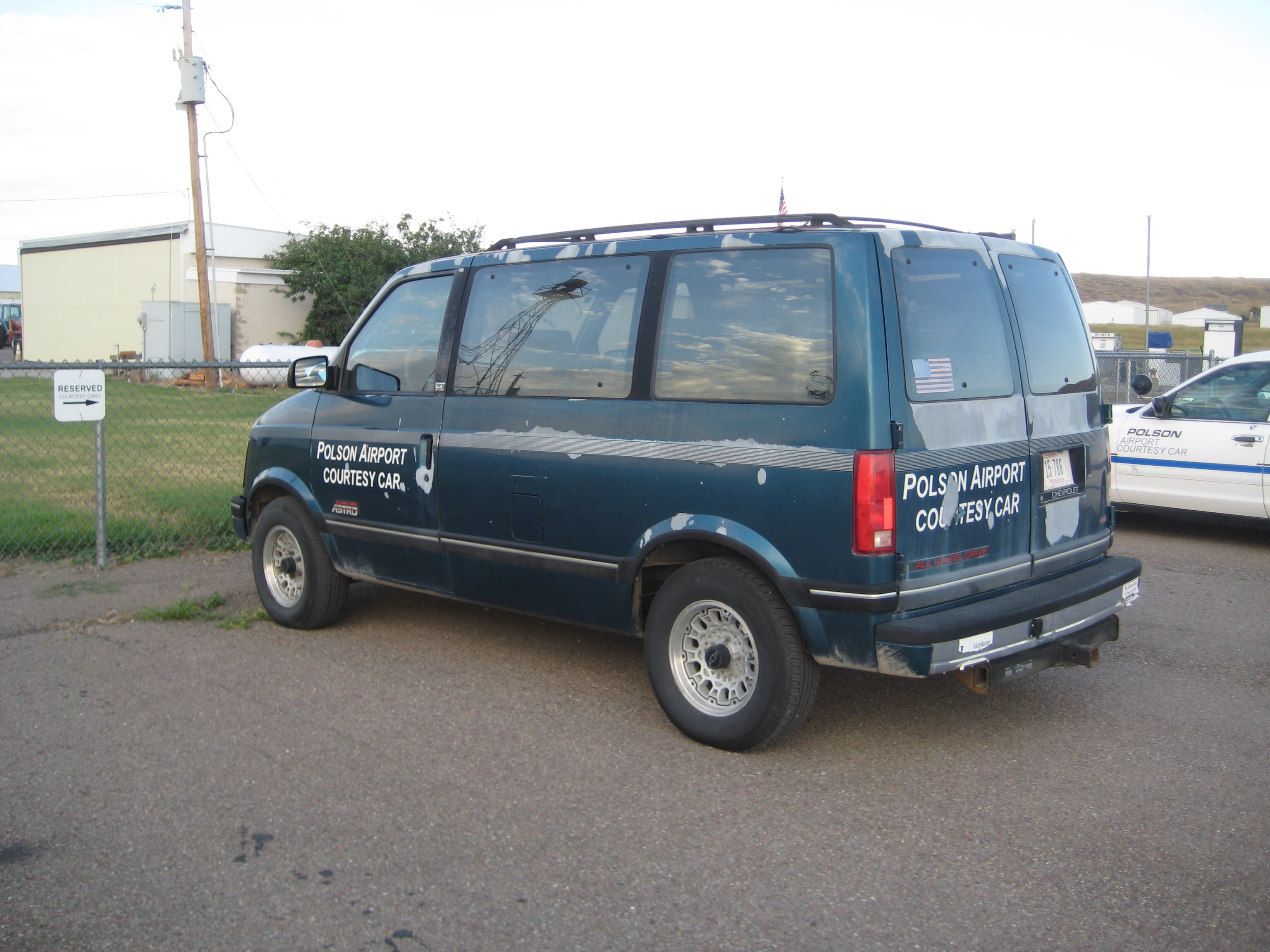
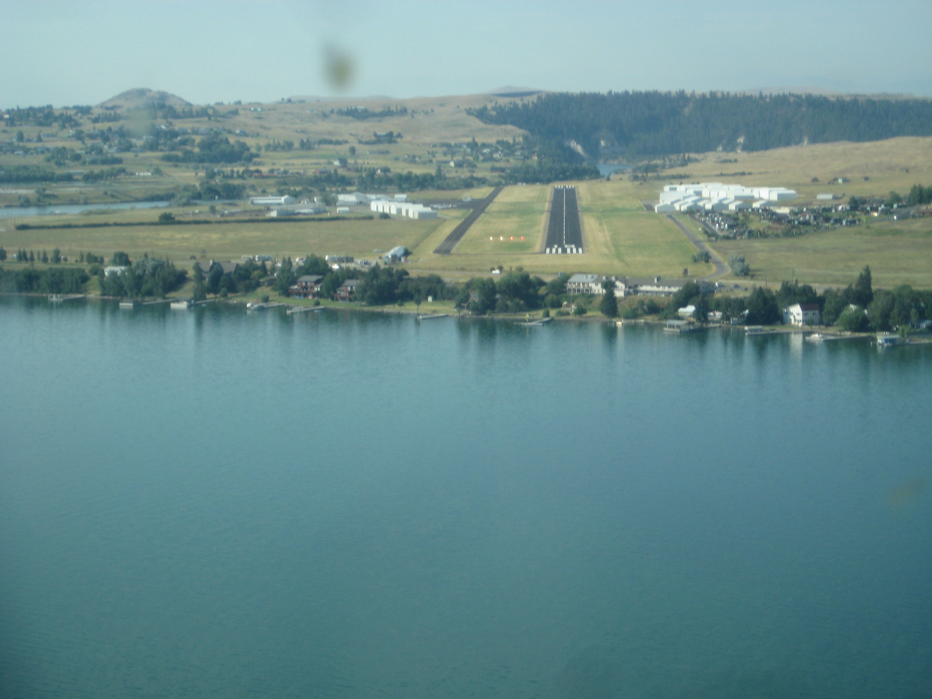
Got to the airport in Polson a few minutes early; didn’t realize they had limo service available
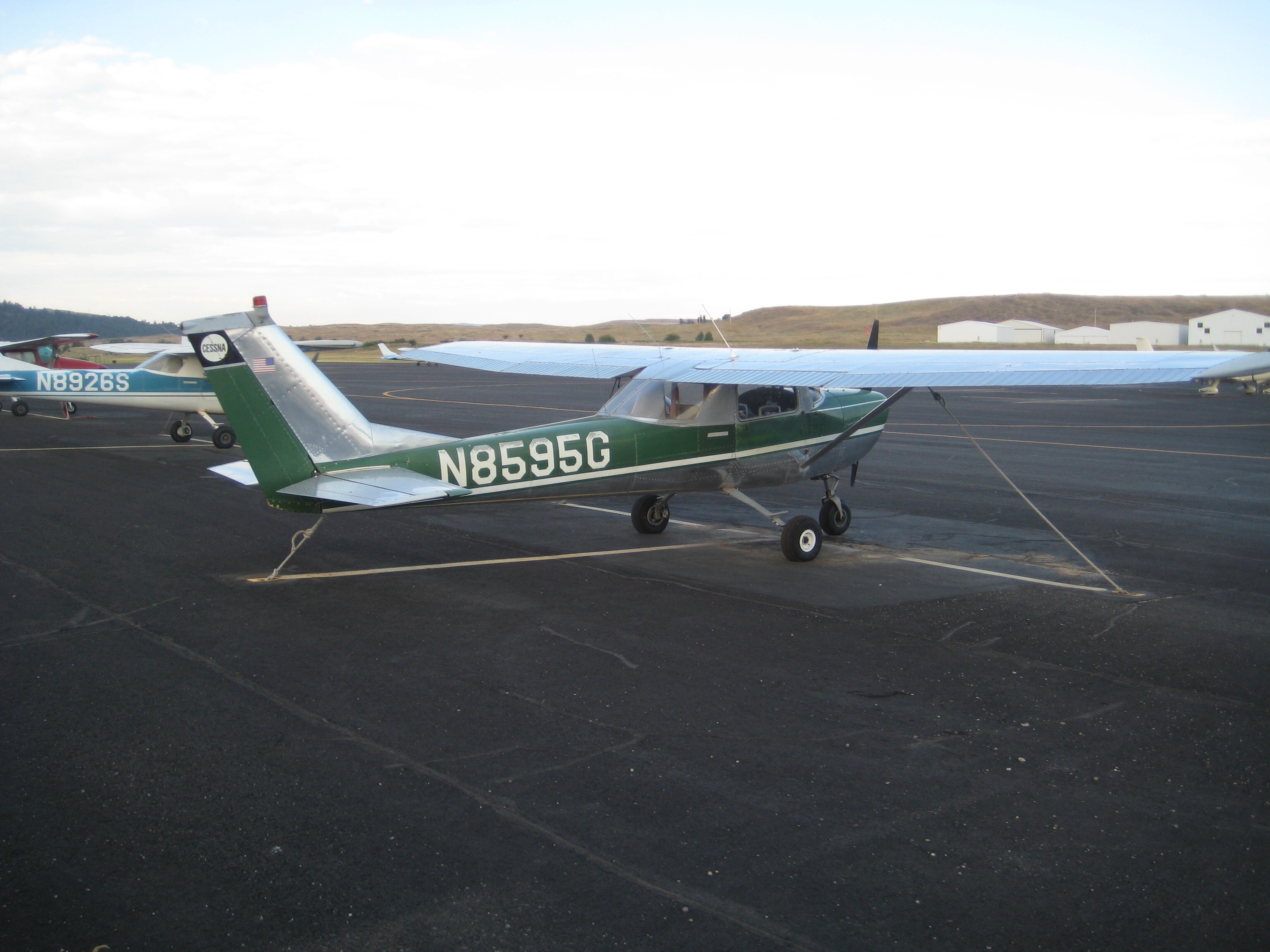
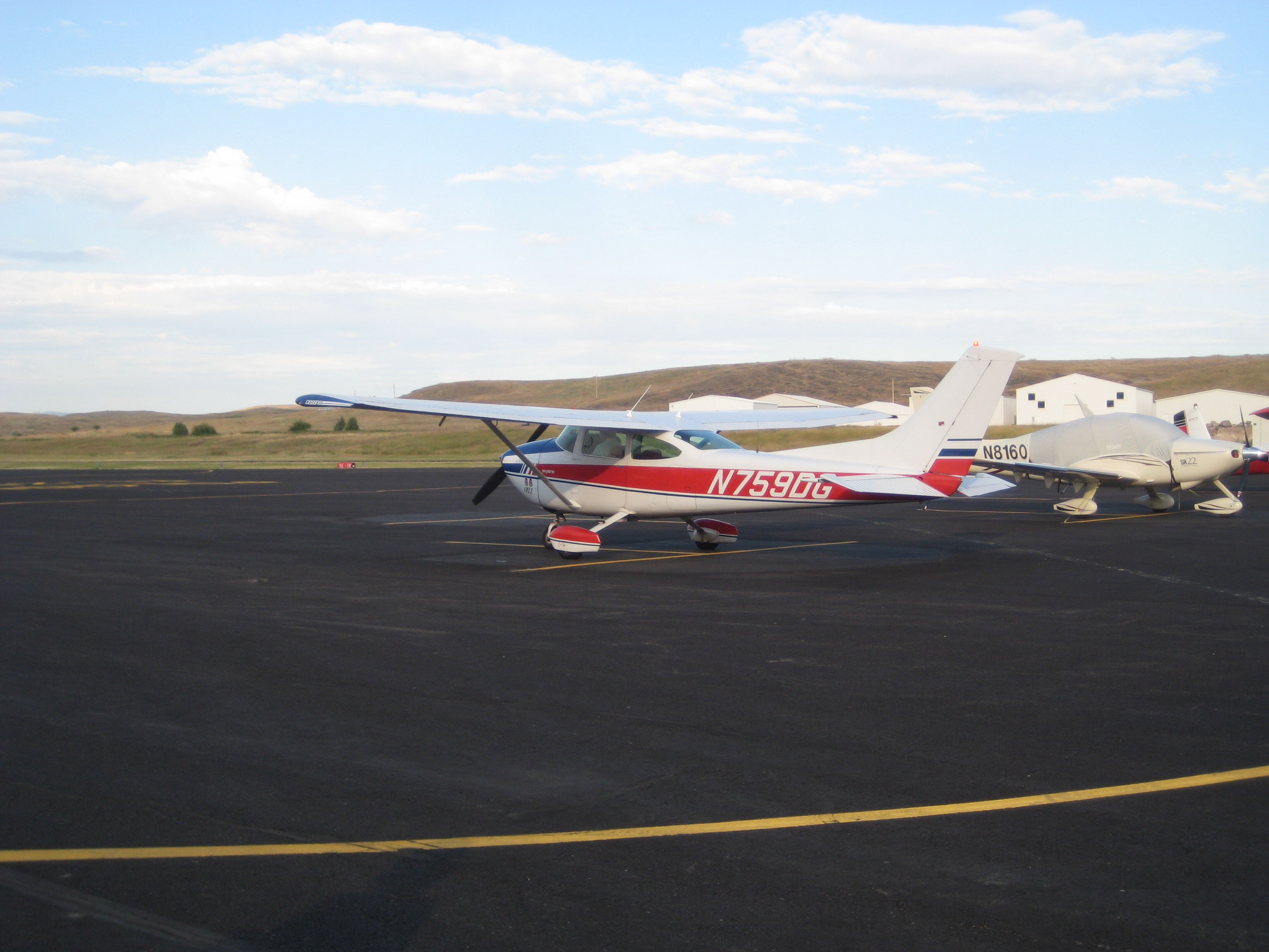
some of the locals

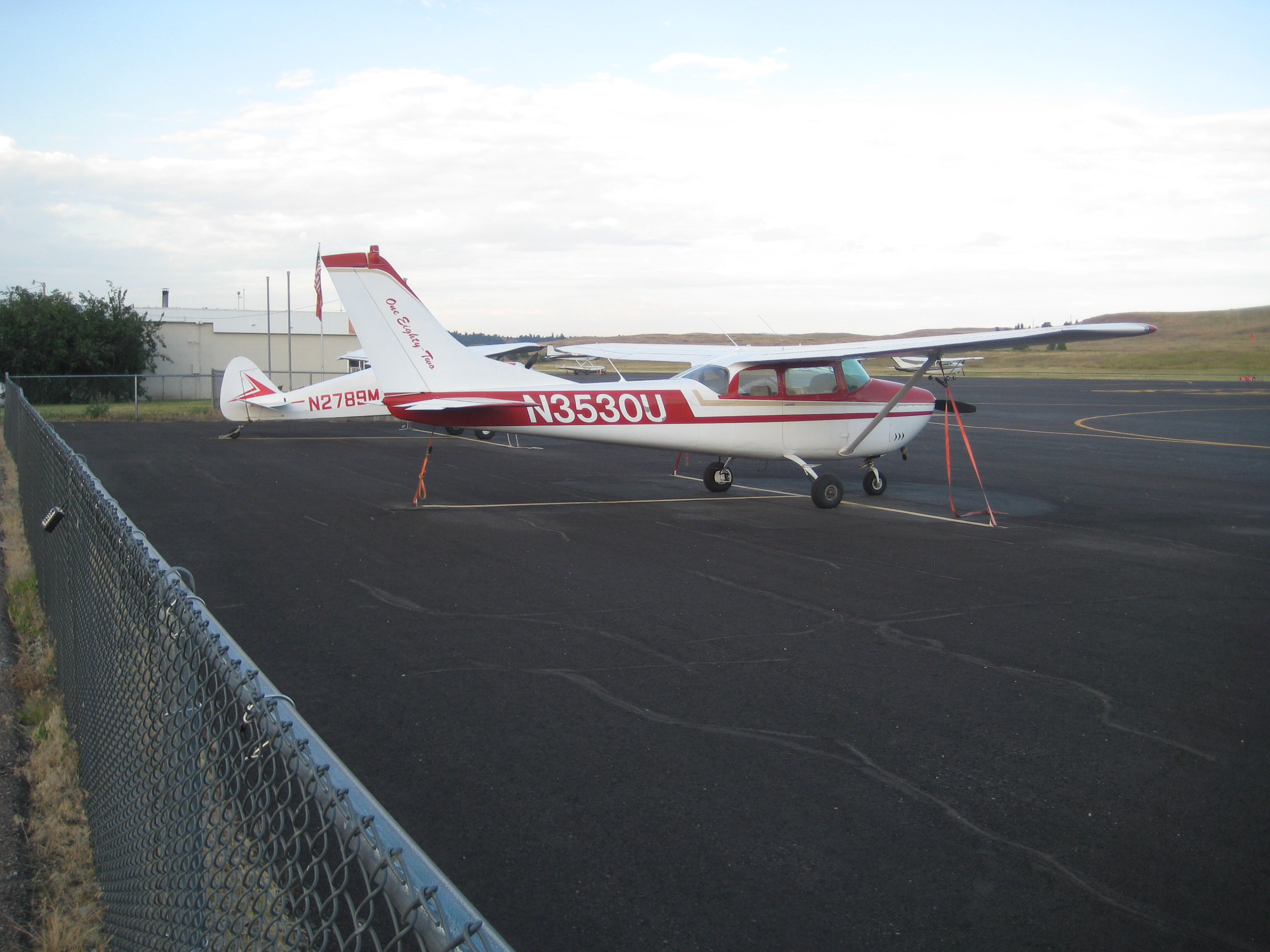
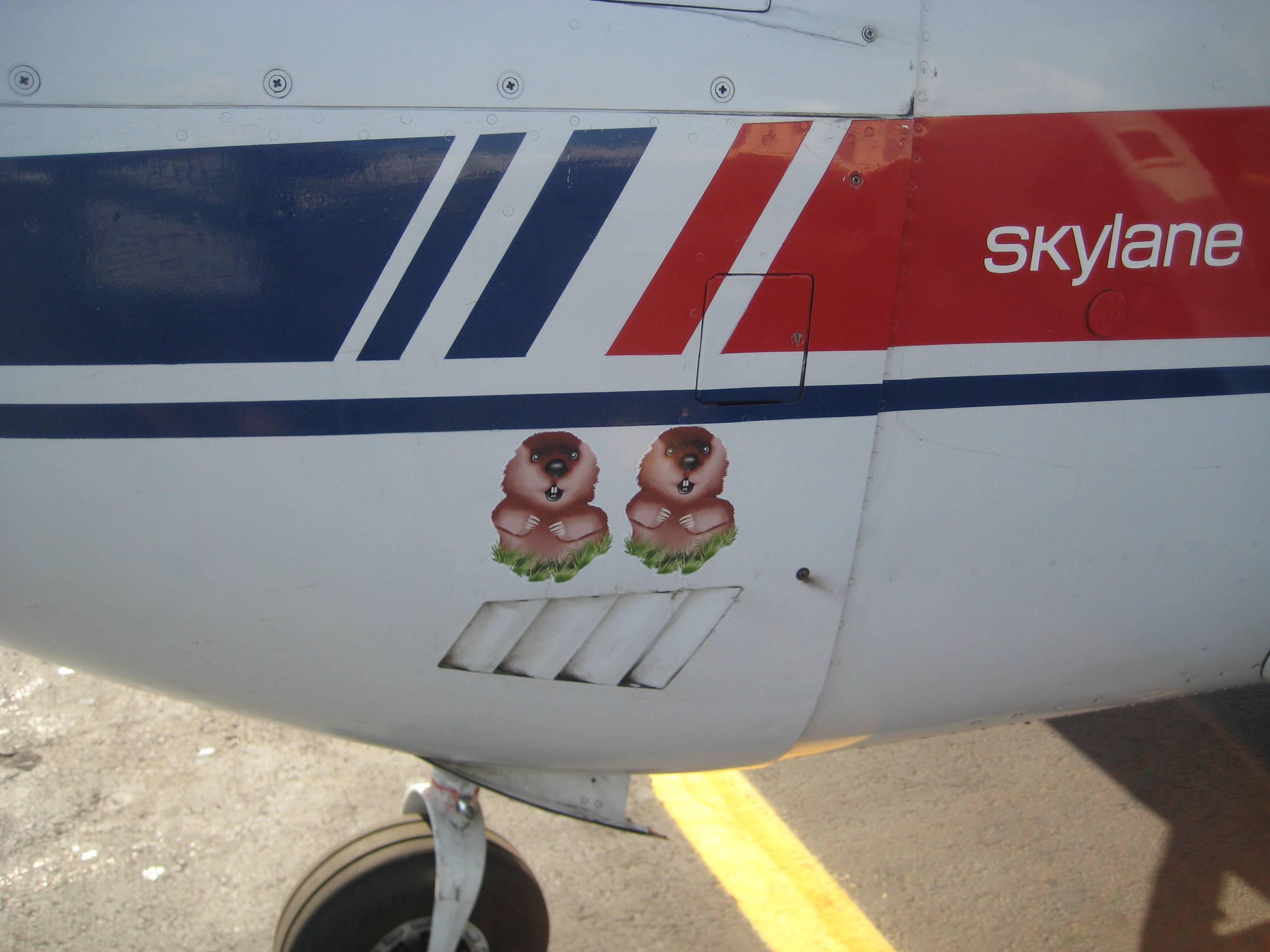
our ride arrives right on time; vintage 1976 (ergo the red, white and blue paint job)

2 prop ground strikes due to gopher holes (requiring complete engine tear down each time)

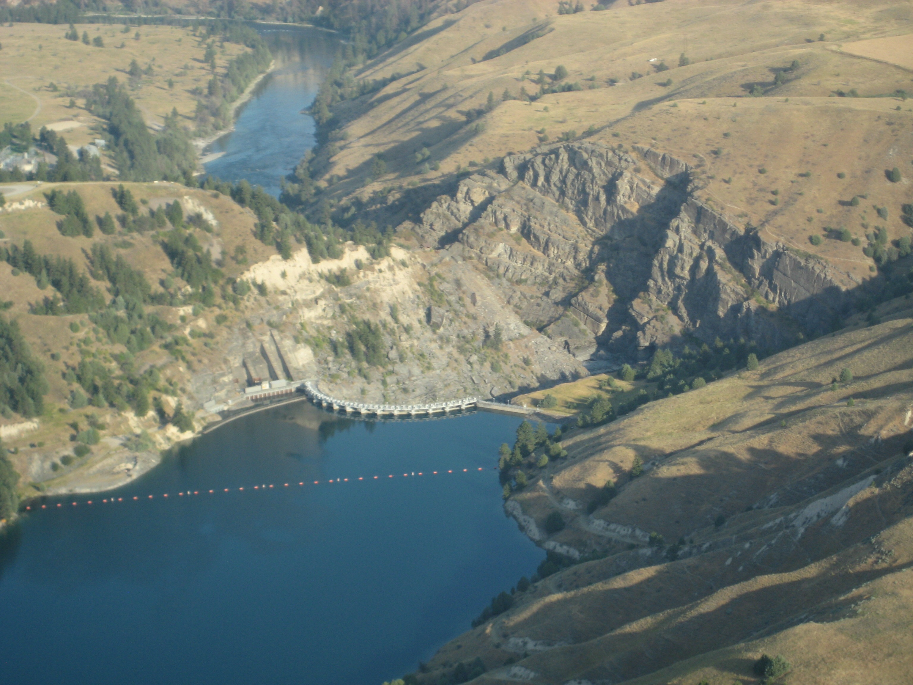
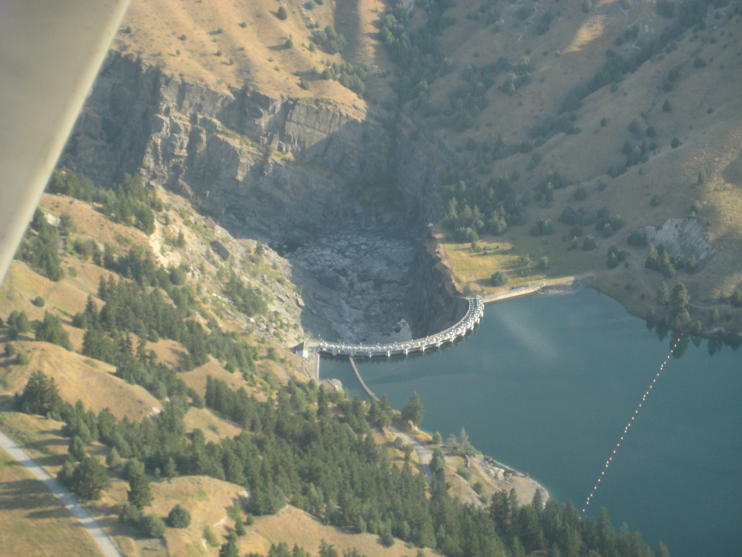
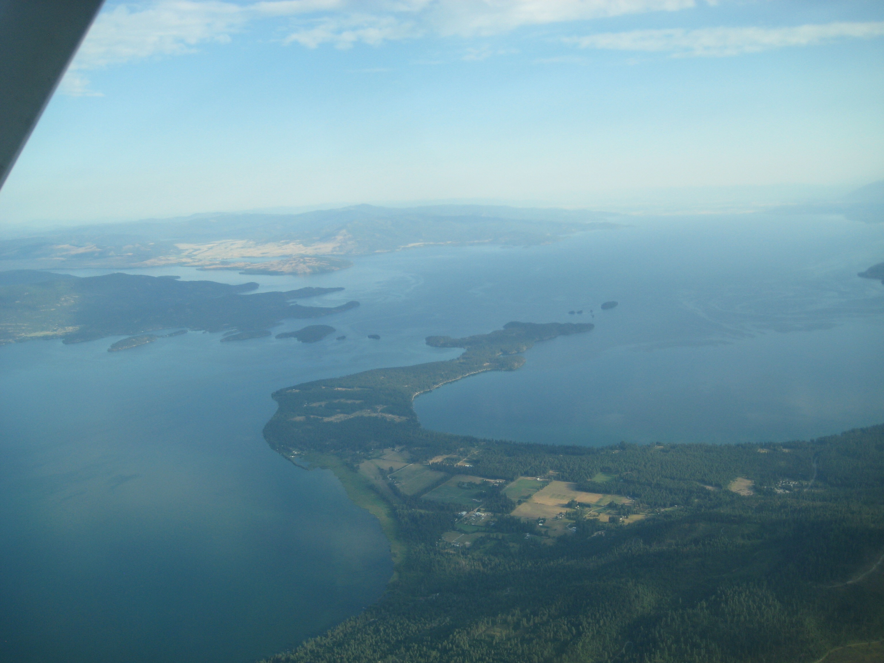
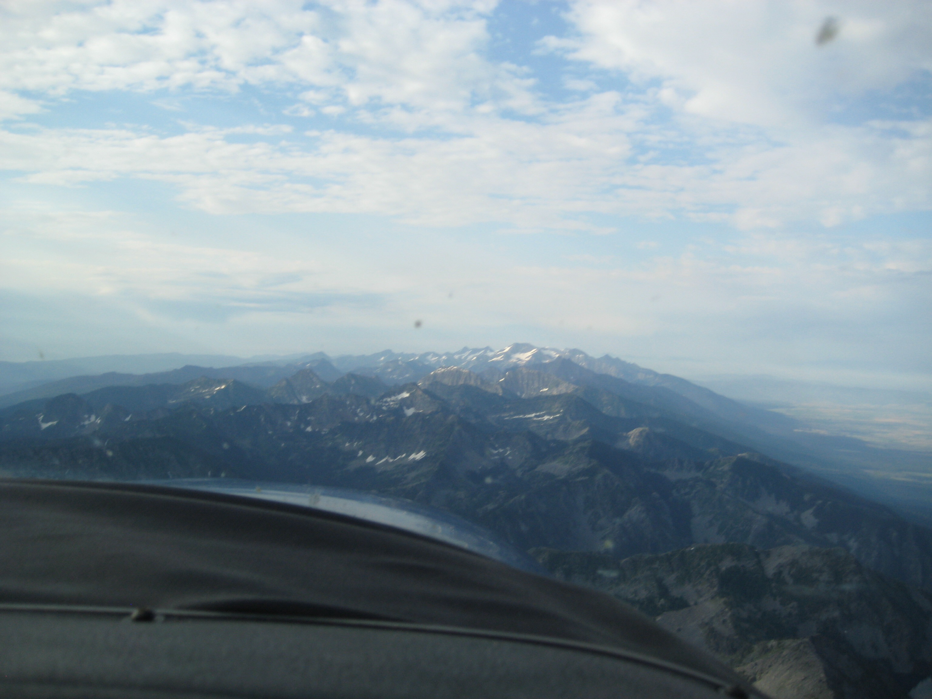
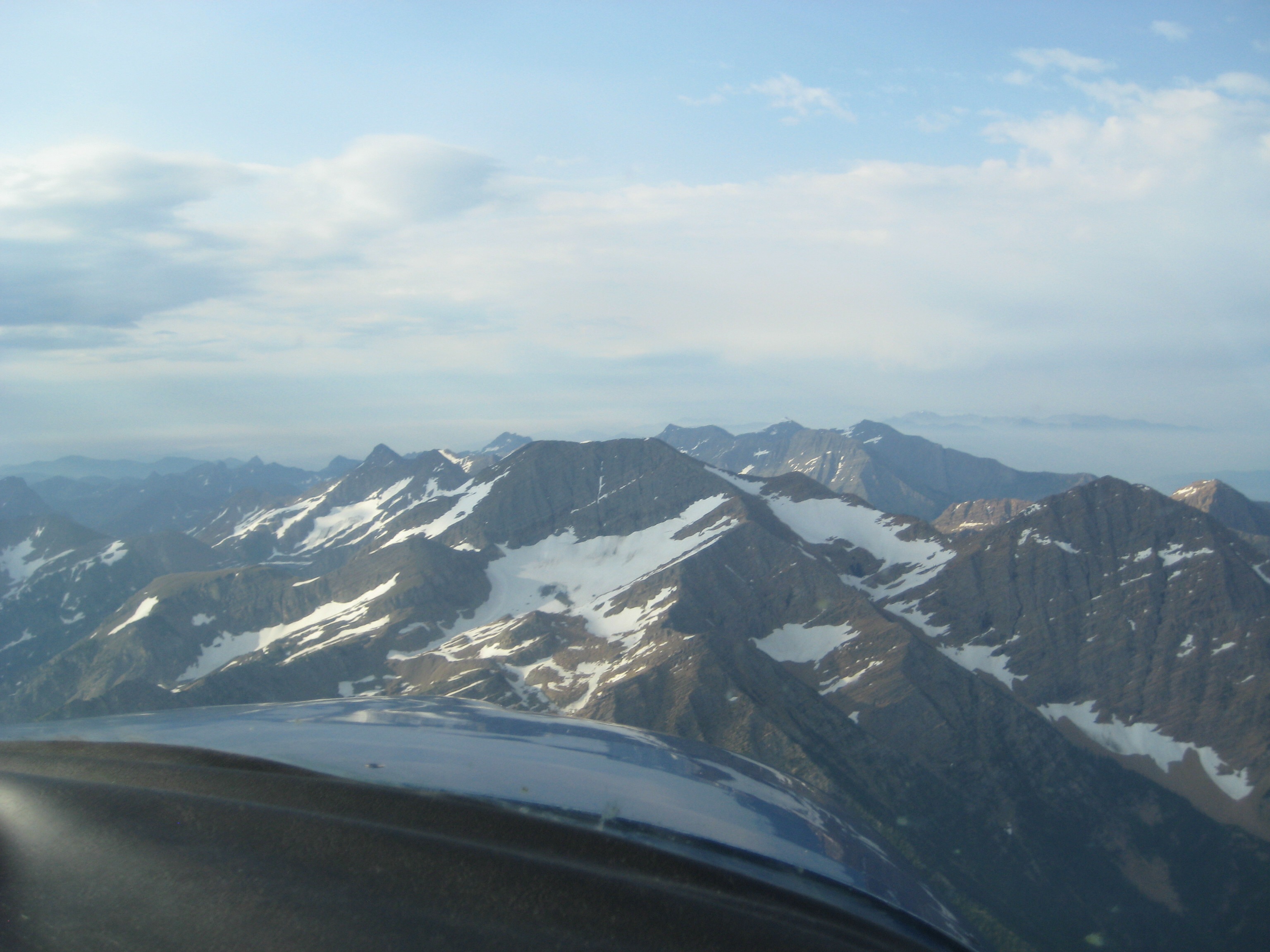
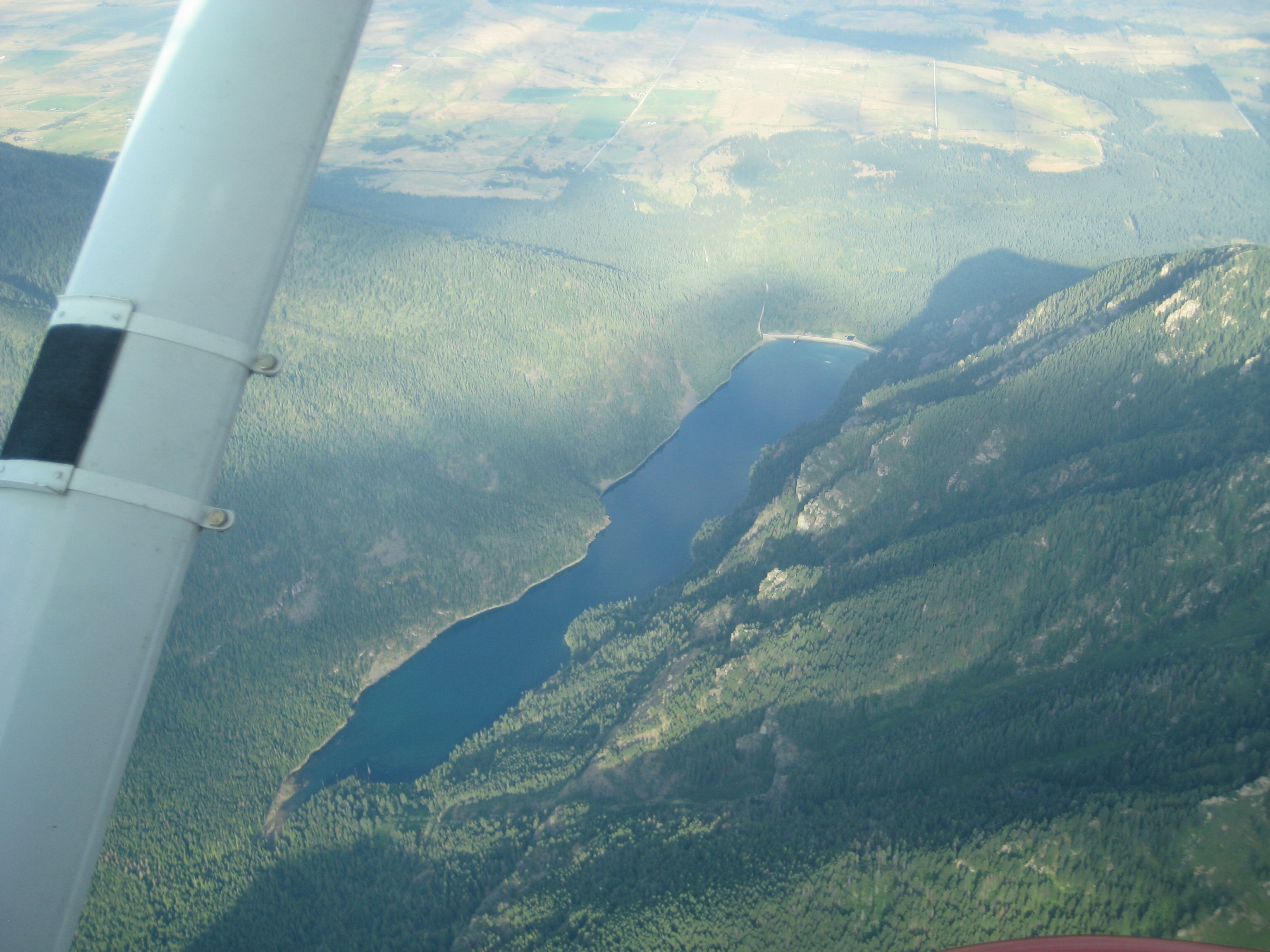
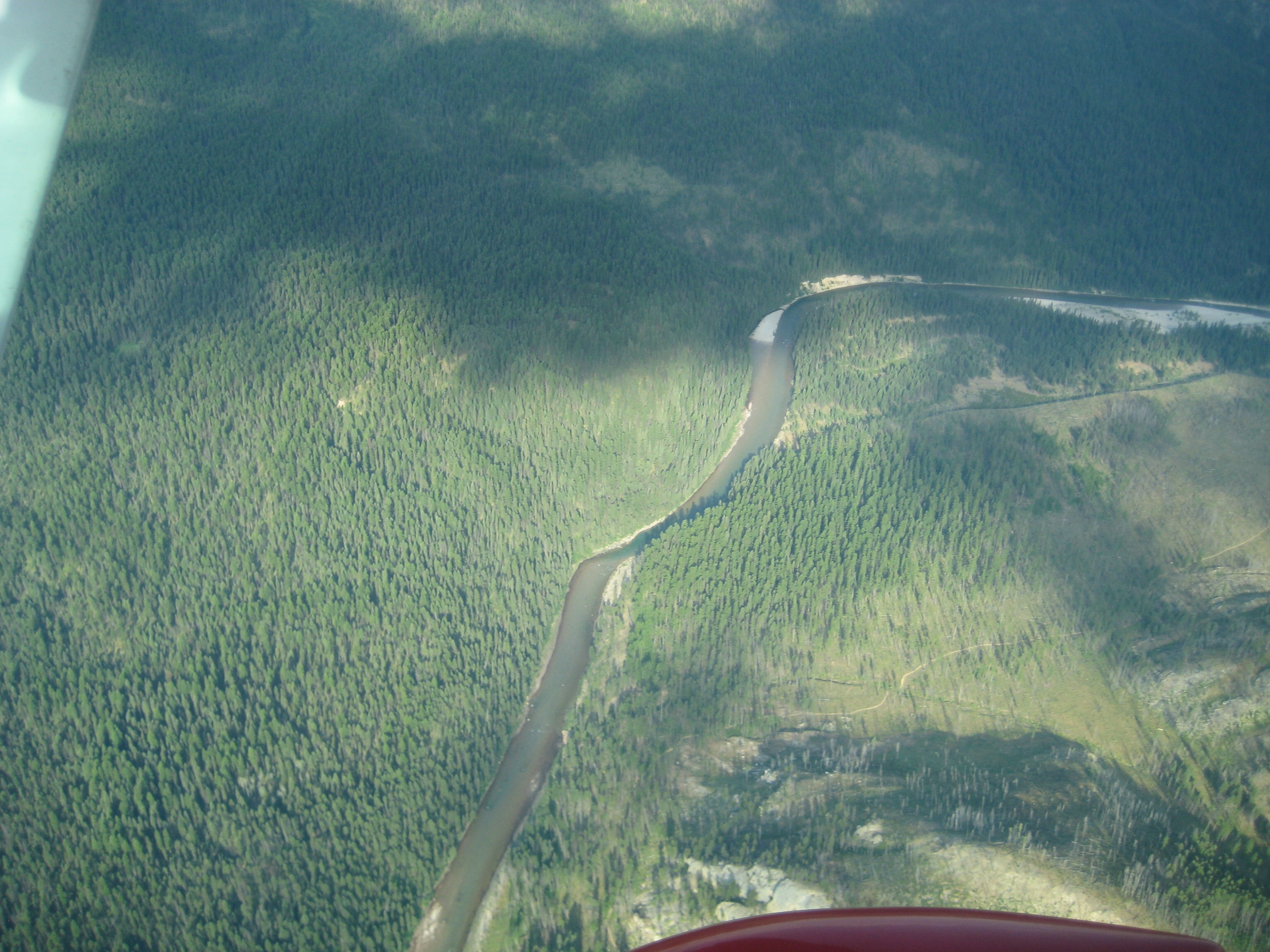
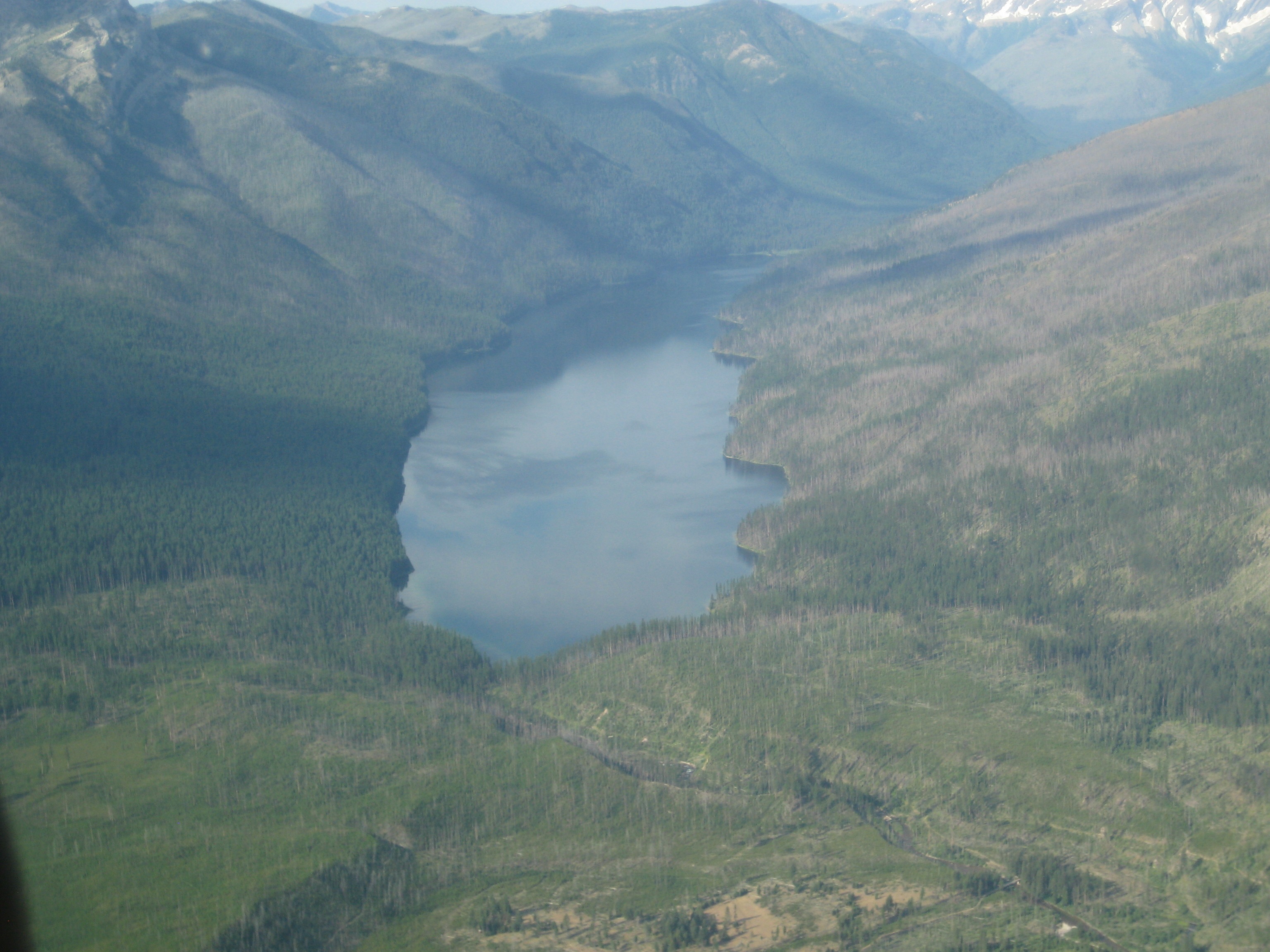
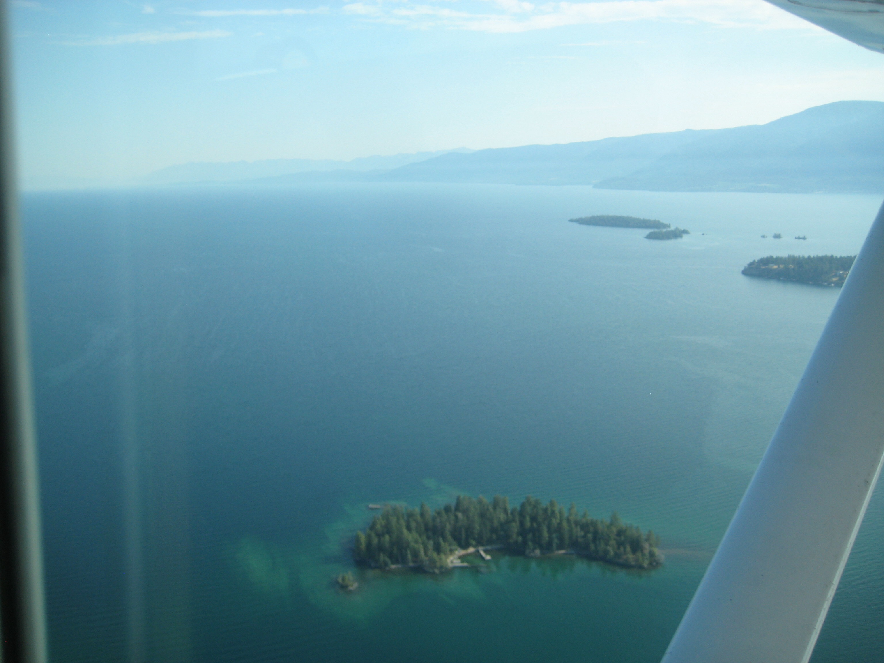
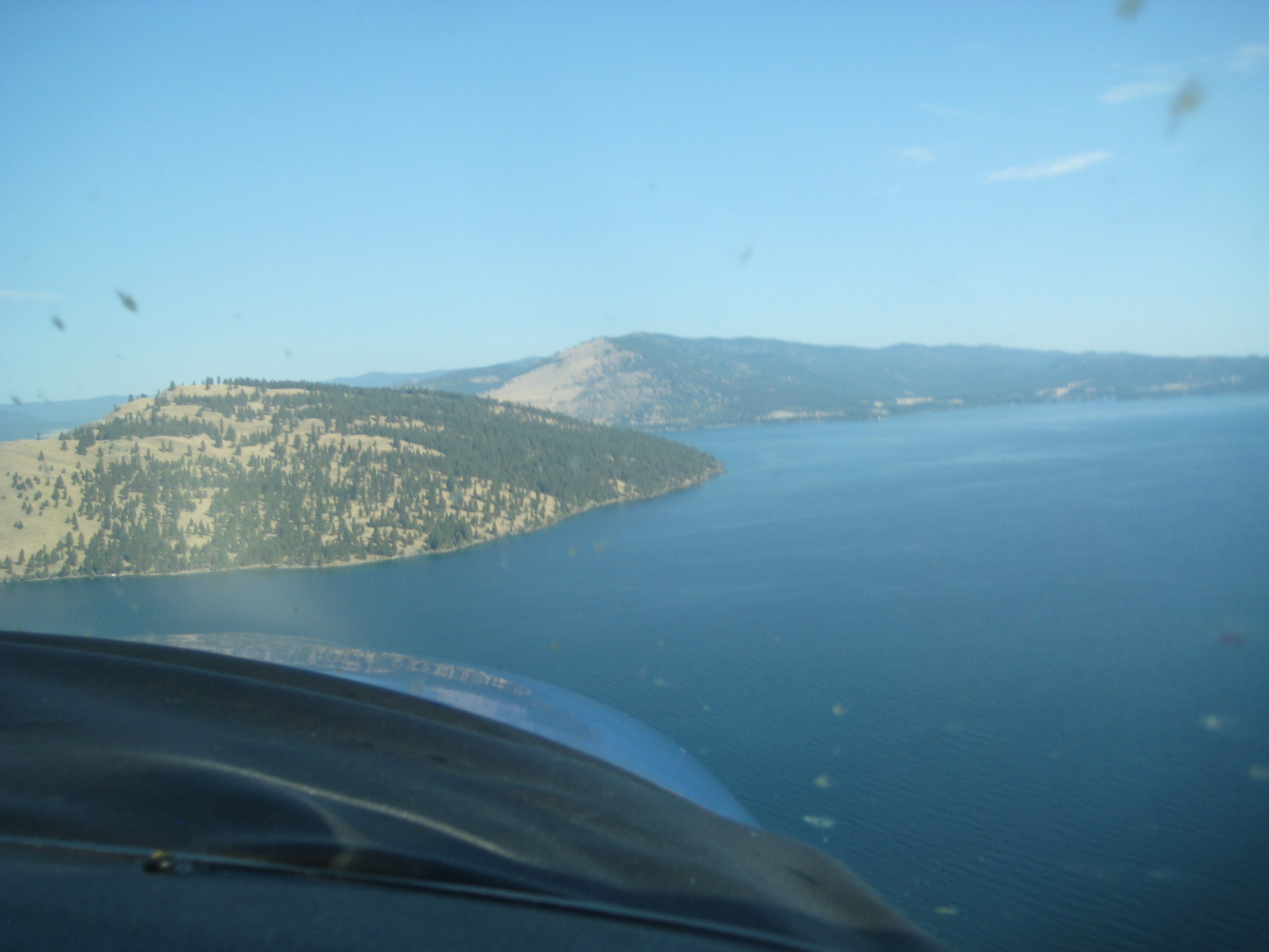
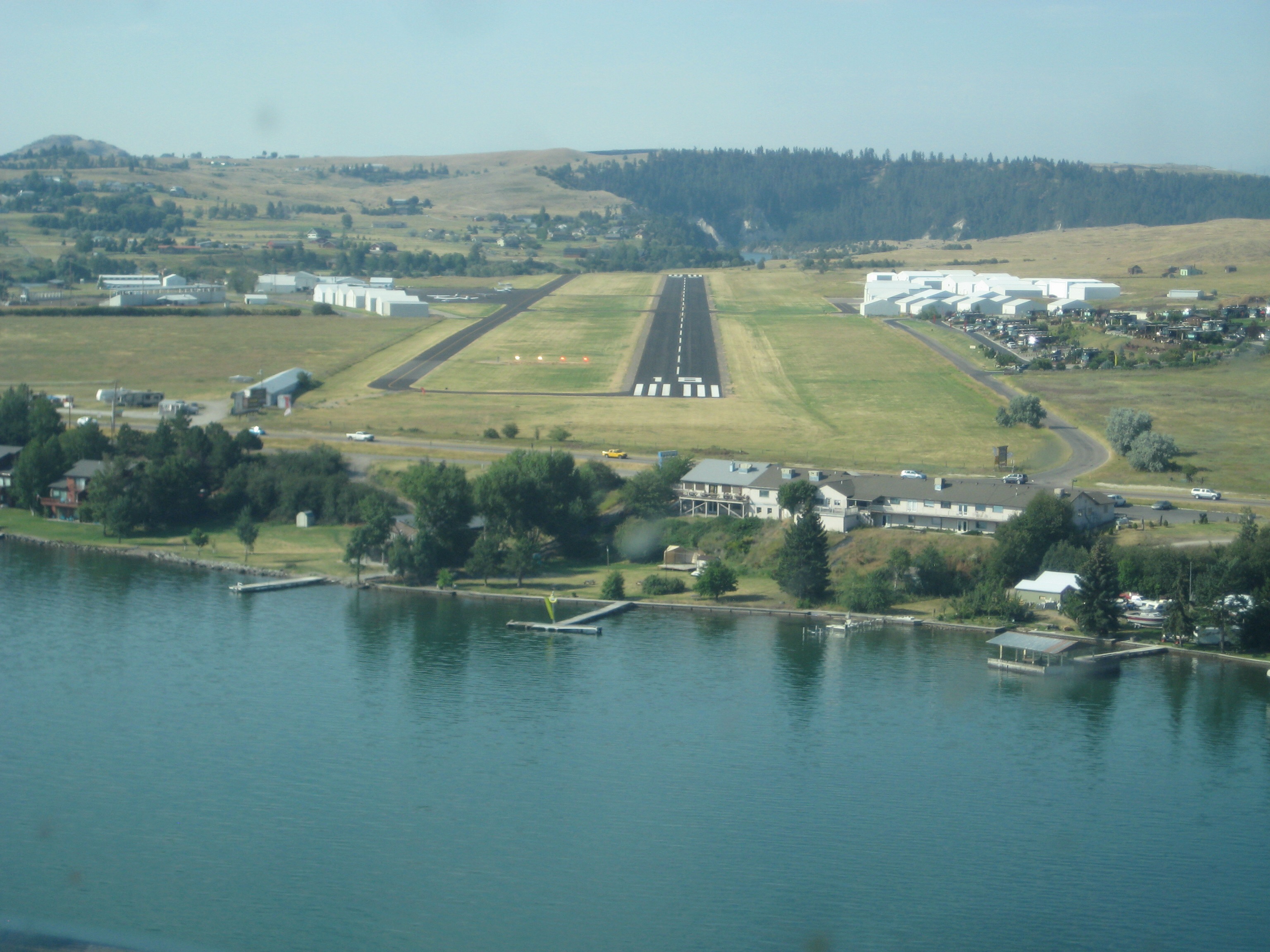
After a quick brief on all the safety features (including survival gear in case of an emergency landing - where the hell he’d be able to put it down safely remained a mystery throughout the flight, as you’ll see), we were off into the wild blue.

360 over Kerr Dam

South end of Flathead Lake and Polson

flying south down the backbone of the Missions

McDonald Peak straight ahead

and McDonald Lake down below

making the turn east

still a bit of snow at 8000’

into the Swan valley

Lindbergh Lake (picking up some bugs on the windscreen)

climbing back up to cross the Swans

into the Bob

confluence of Danaher and Youngs Creek; headwater of the S. Fork Flathead

reef country

Chinese Wall (saved me the 6 day hike, although some day…)

back over the S. Fork (all those dumb cutts begging for foam things)

Big Salmon Lake

back over the Swans

shooting the gap down to Holland Lake

cross the Missions and back over Flathead Lake, heading towards Wild Horse Island

first in line for landing

2 yellow, 2 red means we’re in the sweet spot

Hope you enjoyed the tour

Regards,
Scott

Awesome images & beautiful country, thanks for sharing Scott.

Wonderful!! Thank you for the tour.

Thank so much for posting the beautiful photos. I bet that flight was breathtaking.